
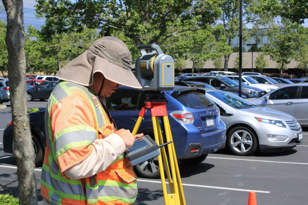
The profession of land surveying is undoubtedly one of the oldest in the world. It has been significant in determining boundaries of land ownership for centuries. The importance of surveying land was recognized long before technology. And the practices established long ago have greatly changed since the profession’s humble beginnings.
Measurement tactics
Since technology has not always been as impressive as it is today, early land surveyors had to improvise with their measurement tactics. Because of this, their measurements were not always accurate or were done in irreplaceable ways. Early land surveyors often used a system of metes and bounds. Otherwise known as, boundary lines defined by natural landmarks. For example, a surveyor could say that a farmer’s property began at the large oak tree and ended at the fence post about a stone’s throw away. Sounds confusing, right? Not to mention the fact that that tree and fence post probably aren’t standing anymore.
Modern day descriptions
When land transactions take place today, the same deed that was written with the spotty boundary lines is still transferred to the new owner. Unfortunately, many property owners do not have an accurate representation of the land they’ve purchased; many think they own more than they actually do, while others think they own much less. This presents the question: If we cannot replicate the measurement methods of metes and bounds and other early surveying techniques, then how can we accurately know where our property ends and begins?
Real estate due diligence
At Orbis, we have seen firsthand how this issue has affected some of our clients. To assist with their landownership, we introduced our Land Investment Technical Analysis Solution (LITAS) and Atlas Land Records, both of which help verify the amount of land owned.
LITAS is a short-term project that aids our clients during acquisition and disposition of property. This service uses the legal documentation associated with the property to verify the land being bought or sold. We do this by analyzing the documentation and creating a GIS-based version of the literature. Based on the legal descriptions and what the landowner claims to own, we are able to verify ownership, or lack thereof.
For clients acquiring a property, our Atlas Land Records service essentially mirrors LITAS to ensure their right of ownership throughout the entirety of their property management. This service follows a similar process as LITAS but is followed by continuous organization and updates to ensure that legal documents are always kept clean and safe.
With the help of GIS and other technological evolutions, the way that land is surveyed and mapped has changed drastically. Through use of our LITAS and Atlas services, our clients are able to check the previous methods to ensure they are taking care of the land that they rightfully own.
Getting started
Think you or your company could benefit from one of our services? Read more on our website or inquire further on our Contact Us form. We are always thankful for the opportunity to help!

Let’s Work Together
Orbis helps you make better sense of your assets, and better use of everything involved in managing them. Request more information or book a consultation with us today.