
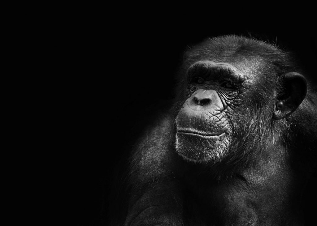
If you have ever learned about chimpanzees in school, you’re more than like to know who Jane Goodall is. Since 1960, Goodall has dedicated her life’s work to studying and helping the world understand humankind’s closest living relatives. Prior to her research, the world knew very little about chimpanzees and their unique genetic kinship to humans. Goodall’s dedication to her research mission has transformed our understanding of chimpanzees. We now know how they, like us, live in societies throughout times of peace and conflict.
While her background as a primatologist and anthropologist has allowed her to orchestrate her research, Goodall understands that the technological advancements of today’s society could further propel her research. Because of this, she has partnered with Esri to take advantage of the capabilities of GIS technology.
The Goodall/Esri Partnership
The pair of institutions announced their partnership at Esri’s latest User Conference. According to the report, Esri will provide the Jane Goodall Institute with GIS tools to document natural and human resources. Examples include wildlife reserves, towns and flood control areas. Through the data collected by Goodall’s institute and Esri’s technological assistance, Goodalls’ team will be able to refine their conservation efforts. Goodall has made it clear that her main goal with this partnership is: to prevent conflicts that arise between the chimpanzees with the nearby human civilizations.
GIS in Conservation
Even though Goodall and Esri made a splash with announcing their partnership, GIS could benefit many other wildlife conservation efforts. GIS can be an effective tool for managing, analyzing and visualizing wildlife data in order to target areas where conservation practices are needed. Correctly using the technology can help prevent habitat loss, global climate change, and human disruptions like pollution and deforestation.
Understanding the specific needs of a wildlife group, and how they function as a population, is essential to preventing local or global extinction, rehabilitating populations and restoring a habitat.
Fortunately, Goodall set a good example with this partnership, pushing other wildlife professionals to implement GIS technology into their practice. GIS is already being used to:
– help respond to invasive species;
– manage and facilitate disease prevention;
– minimize mortality; and
– determine wildlife movement and habitat ranges.
Previous projects and movements have already shown how endless the capabilities of GIS technology are. There is no doubt that Goodall has shed light on the conservation sector through this partnership.
Let’s Work Together
Orbis helps you make better sense of your assets, and better use of everything involved in managing them. Request more information or book a consultation with us today.