
As our world has evolved, so has the way that land is calculated. Gone are the days of metes and bounds and measuring distance with various chains. Foresters and landowners now sell and license the land they own. Thus, understanding management areas and boundaries is more imperative than ever. GIS technology aids in this understanding.
The Question
Utilizing GIS in agriculture is nothing new. But how many agricultural landowners are truly utilizing the full benefits it can provide? What methods and processes confirm ownership in accordance with legal deeds? How are farmers estimating and planning for future production and growth?
Our Technology Solution
At Orbis, we understand that the measuring methodologies of the past may have caused some discrepancies. When reviewing legal documentation, we often find that companies own more or less property than they thought. By utilizing geographic information systems, more commonly known as GIS technology, we create geo-referenced parcel boundaries as described in the legal documentation.
GIS Uses in Agriculture
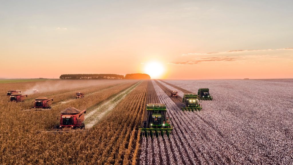
One sector that can (and does) especially reap the benefits GIS technology offers is agriculture. GIS in agriculture can aid farmers exponentially in increasing their production and crop yield, while also decreasing their resource costs.
As most farmers strive to increase their overall yield, they need an accurate and reliable way to estimate what their crop yield could be. This is where agricultural mapping with GIS comes into play. Understanding crops are location-based allows effective increases in crop yield.
Even though natural effects, such as erosion and soil quality, cannot be controlled, utilizing GIS technology helps farmers better understand and combat it. Compiling data generates agriculture maps to show:
- the amount of water;
- farmable land parcels; and
- soil texture.
With precision GPS tracking, vegetation data collection using drones, the ability to track weather patterns and so much more, the ability to understand and keep record of the land provides endless possibilities. After understanding the patterns of their land, farmers decide when and where crops should be planted to truly flourish.
Helping You Grow
Should you or your company be interested in taking advantage of Orbis’ GIS services, please do not hesitate to reach out in our Contact Us form. We are always looking forward to hearing from you!

Let’s Work Together
Orbis helps you make better sense of your assets, and better use of everything involved in managing them. Request more information or book a consultation with us today.