
Geographic information systems (GIS) help users capture and analyze spatial data. In this post, Corey Turner, director of GIS services, reviews the history of GIS and offers a look at its future.
The Origin of GIS
To understand how powerful GIS is, you need to understand the technology it replaced.
People have always wondered where they are in the world. To answer this question, they used cartography, the discipline of creating maps.
Maps use scale, color and symbols to communicate geography and distance. But they’re also prone to human error. Most maps throughout history have been inaccurate in some way. And beyond that, they represent only a snapshot – a map can’t show how land changes over time.
As early as 1854, scientists started expanding the capabilities of maps, using them to visualize and track information. Over the next century, inventors created new geospatial technologies that allowed governments and other organizations to analyze the world around them. The advent of remote sensing and the use of aerial photography and satellite imagery also contributed to the growth of geospatial technologies.
In the 1960s, inventors created the first GIS systems. But it was the development of GIS platforms like ESRI’s ArcGIS that made the technology widely available for businesses. GIS is essentially IT systems and databases with a spatial component. It uses spatial data to gather geographical information about the Earth at a specific space in time.
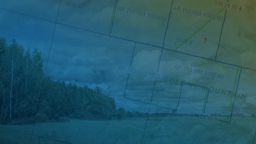
GIS applications allow users to display and analyze data in an interactive and visual way. You can also track the way spatial information changes over time.
With these breakthroughs, the possibilities for GIS applications became endless. You could track the growth of trees. Or analyze the flow of a supply chain. Or predict algae blooms in ponds.
But over the last 20 years, GIS application developers have found ways to use it to transform how companies do business.
GIS Today
Today, GIS is all about applied problem solving. Businesses now leverage spatial technology to make better decisions and improve what they do.
But to do that, you first need an application that can turn your inquiry into a map. Developers create these applications by clearly defining the problem and looking for ways to solve it. Then, they offer existing or custom solutions to solve the problem.
For example, in the forestry industry, managing hundreds of thousands of acres of forest assets presents challenges. Developing, hosting and maintaining your own GIS applications and servers requires a lot of expertise and resources. Many businesses will have trouble doing this in house. Orbis introduced forest operations software to solve this – powerful spatial analysis without the burden of developing, hosting and maintaining the system yourself.
When companies first started using GIS, applications and data had to be hosted on servers.
About ten years ago, cloud-based GIS emerged as the next evolution in GIS technology. It gives users 24/7 access to their GIS data without the burden of managing IT systems and manual backups.
During the same timeframe, GIS technology has become increasingly focused on the user experience. Today, anyone with an internet connection can develop GIS applications. Even if they’re not trained in GIS.
The technology has become so streamlined and accessible that the app does a lot of the work for you. And the cloud-based nature of the technology means you don’t have to configure complex IT systems to get started.
The Future of GIS
20 years ago, GIS mapping transformed how companies in countless industries do business. Right now, cloud computing is playing a similarly vital role in the evolution of GIS. But going forward we anticipate this trend will continue to accelerate at an unprecedented rate.
Leading GIS technology companies have made it clear they’re committed to the cloud. And it’s easy to see why. With spatial data being easier than ever to store, access and analyze, the future of cloud GIS is bright.
Right now, most industries are still divided between early and late adopters of cloud GIS. This won’t last forever.
While the two delivery models of GIS coexist, traditional software models are going to fall behind. Companies that rely on on-site servers to manage their GIS data will become burdened with in-house maintenance and updates. Eventually it will be too much to keep up.
They’ll also be missing out on the incredible benefits businesses enjoy when they move their operations to the cloud. Businesses using outdated GIS computing will be at a competitive disadvantage to firms using cutting-edge solutions.
Another factor that will accelerate the adoption of cloud GIS is the huge increase in people working from home. Accessing your data anytime and anywhere is no longer a luxury. It’s an absolute necessity if businesses are going to survive the era of remote work.
Conclusion
The future of GIS is accessibility. The proliferation of cloud computing and a focus on user experience have made it easier than ever to visualize and examine the world around us.

Let’s Work Together
Orbis helps you make better sense of your assets, and better use of everything involved in managing them. Request more information or book a consultation with us today.